CoCoRaHS Station: MN-HN-22
Date Taken: 9/5/16
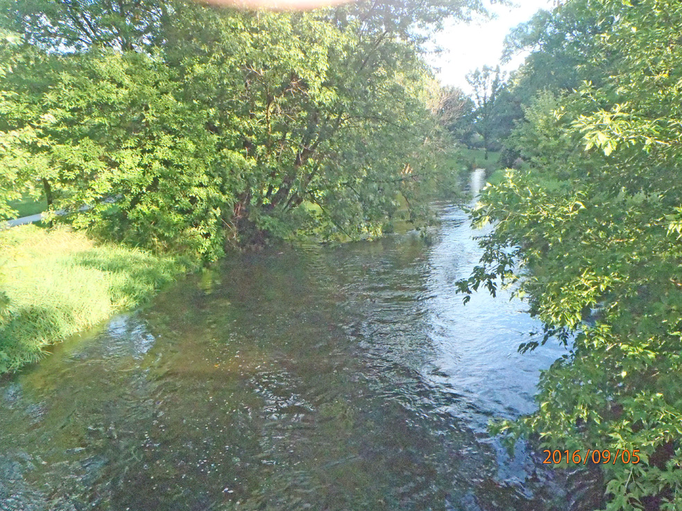
The photos are taken from a footbridge across Minnehaha Creek, in parkland. Minnehaha Creek is an excellent indicator of the drought or water-surplus situation here. In deep drought, the section of creek photographed is dry with puddles here and there. In extreme water-surplus, the parkland next to the creek goes under water. Today, Monday, Labor Day, 5 September 2016, the creek is overfull - the bases of trees next to the creek, normally dry, are in the creek-flow. However, another 2 to 4 feet of creek rise are required to put the adjacent park-land under water, though there is a little standing water on the park land, and the paved walking path (high water table indicator).
Looking "West" photo (actually NW). You are looking upstream at the slightly-over-banks Minnehaha Creek, Minneapolis, MN.
#CoCoRaHsSep16