CoCoRaHSJuly17
Date Taken: July 02, 2017
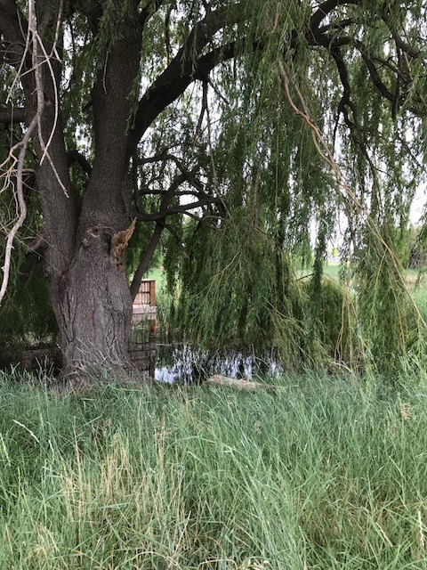
CoCoRaHS station #:
CO-WE-517
The picture taken to the south under the willow tree shows a part of one of the ponds w/a wooden walkway extending out into the cattails. On 6/26/17 there had been some type of flooding at the park (potentially irrigation gates left open when the water came in) and the water was up to the bottom of the walkway and up to the log lying on the ground. This is the highest water levels I have ever seen in walking this park x 4 yrs. The 0.30" made no difference in water level so the increase in water was due to some human caused event--irrigation problem, broken sprinkler system in the playground area or neighborhood surrounding park?