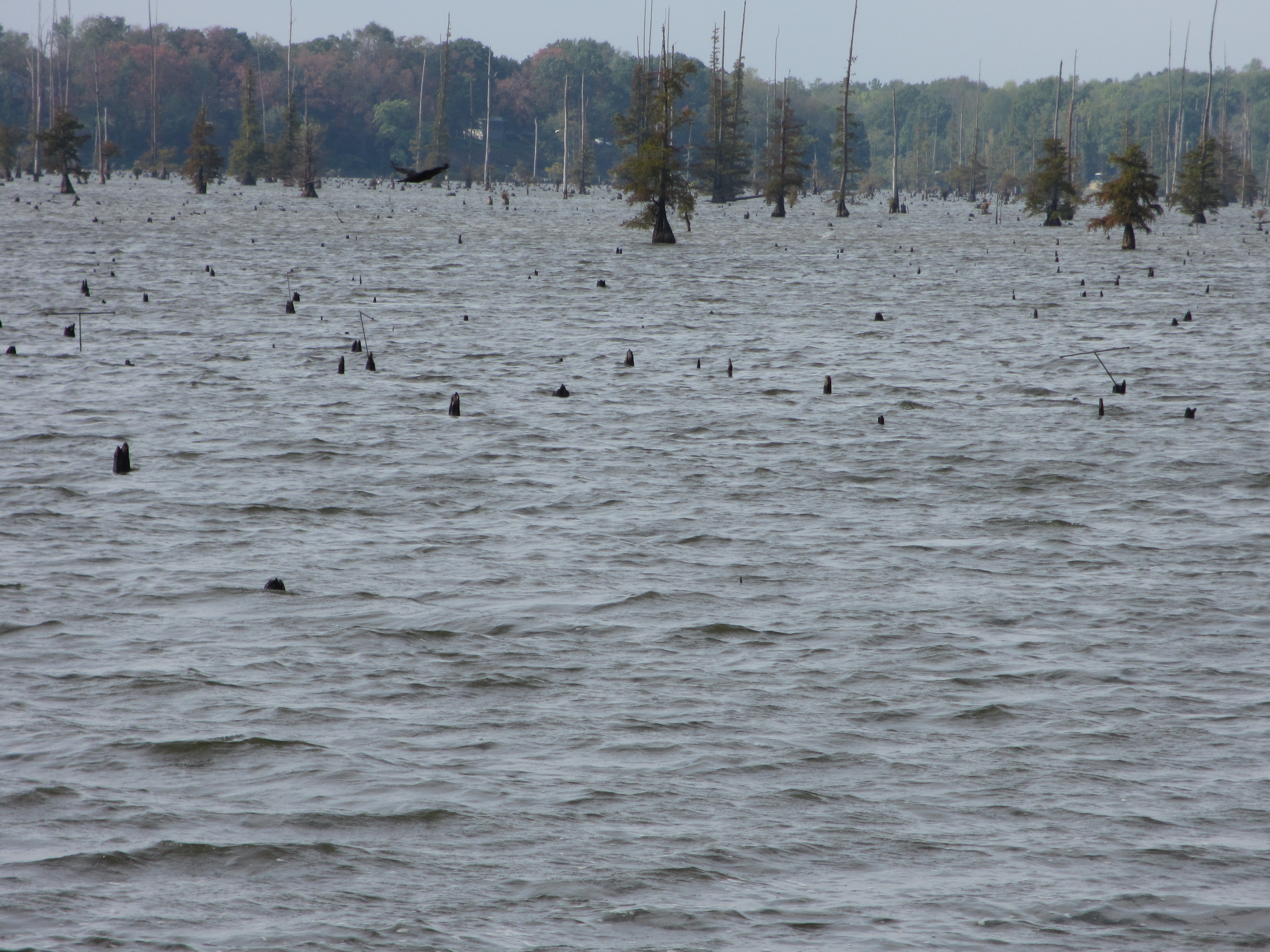
These pictures were taken at Lake Conway in Faulkner County, Central Arkansas. Photo taken on 8/31/12.
This location is on a point of land; several years ago, after serious flooding and erosion, we obtained permission (after tedious applications to both the Corps of Engineers and Arkansas Game and Fish Commission) to install riprap along the banks. When the lake is at a normal level, only the rocks at the top are in view. We have had almost no rain since May, along with extreme heat, and the lake level has been reduced an unusual amount. You can see that the water has been low for a good while, as grass and flowering weeds are growing on what would normally be the lakebed. The roots and lower trunks of tupelos and bald cypresses are exposed. In the lake itself, many stumps and snags are visible; normally these are not seen. (Only the boating channel is kept clear; this man-made lake resulted from damming 5 creeks and flooding a pretty swampy area. It’s a shallow fishing lake.) We have had a total of 2.21” of rain in town (Conway, AR), which is where I record my data from the rain gauge; this rainfall began Thursday afternoon and continued intermittently all night, most of Friday, and Friday night, thanks to Isaac. The lake area has received slightly more rain. CoCoRAHS Station: AR-FK-2.
#CoCoRaHSSep12