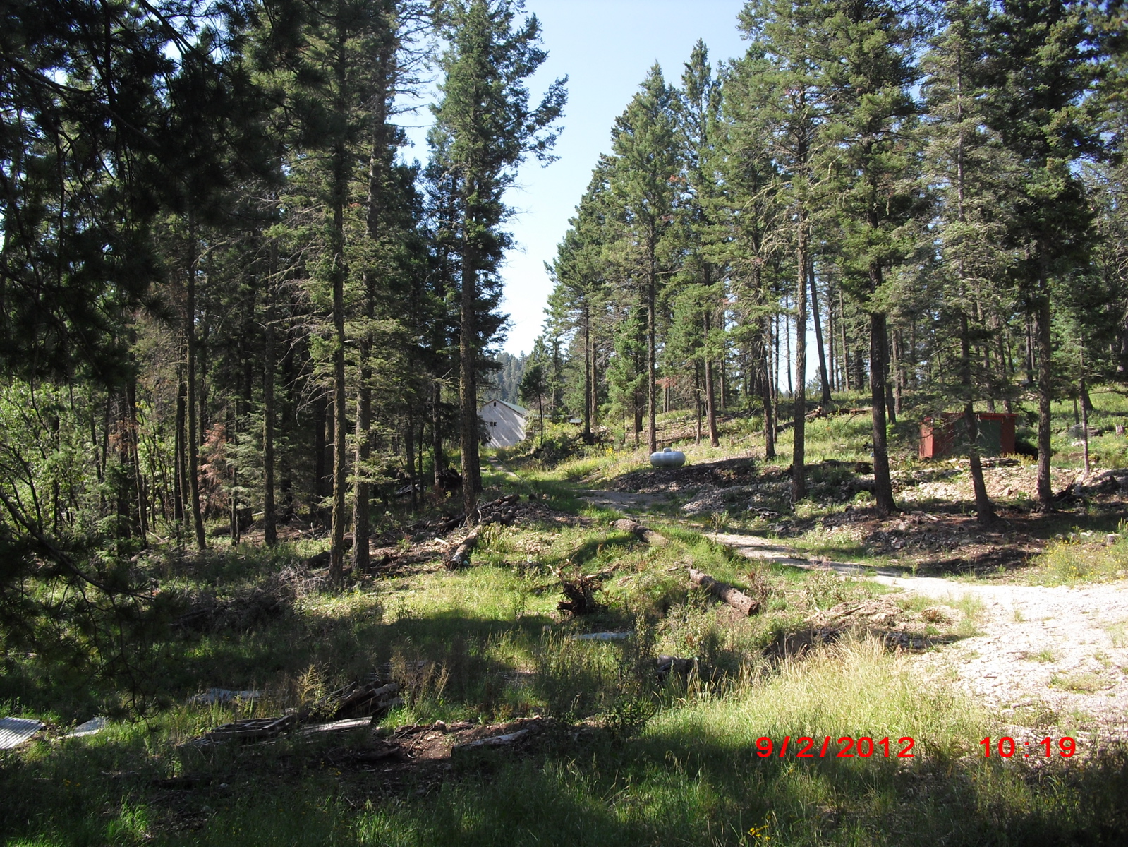
These photos were taken on September 2, 2012, between 9:44 am and 10:23 am MDT. The altitude is approximately 8700 feet. The roof of the house is visible on Google maps. My CoCoRaHS station number is NM OT-35. Shows the unthinned property of the neighbor to the east.
#CoCoRaHSSep12